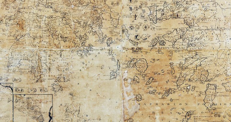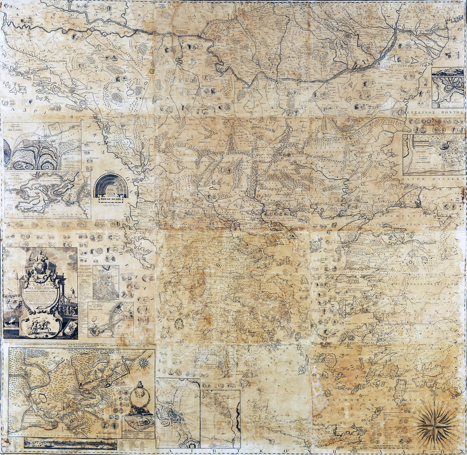


The Rigas Map or The Map of Greece. This is the central exhibit of the temporary exhibition ‘The Archipelago in Flames’ put on by the Ephorate of Antiquities of the Cyclades at the Archaeological Museum of Mykonos to celebrate the 200th anniversary of the start of the Greek Revolution of 1821. It is part of the third section entitled The Inexhaustible Quarry of the Past, which presents the influence of Greek antiquity on the creation of national consciousness at the start of the Greek Revolution.
The Rigas Map, one of the most important works of the Modern Greek Enlightenment, is a milestone in Greek cartography and contributed to the formation of the ideas and vision that inspired the Greek Revolution of 1821. It is included among the first recorded objects of the Archaeological Museum of Chora, Andros and arrived on the island thanks to the leading Andrian reformer, Theophilos Kairis (1784-1853). It is one of the few surviving and genuine copies in Greece and abroad. It recently underwent conservation at the Byzantine and Christian Museum of Athens.
A twelve-sheet map with total dimensions of 2 × 2.10 m, it was printed in 1,220 copies in 1797 at the printing house of J. Nitsch, with the engraver being Fr. Müller. It is a particularly rich depiction of the Balkan peninsula with a wealth of information and symbols of the Greek presence from antiquity to the year of the printing. Specifically, it depicts the area defined by the Danube and the Libyan Sea in latitude and from the Adriatic Sea to the Black Sea in longitude, along with part of Asia Minor, the islands of the Aegean and Ionian Seas, Crete and the Dodecanese. It also includes ten planigraphies, that is, topographic plans and views of important cities or sites of antiquity (Plataia, Salamis, Athens, Thermopylae, Sparta, Delphi, Olympia, Constantinople, Seragi, Fera). Additionally, it depicts a plan of an ancient Greek theatre, both sides of 162 coins and a list of important figures and rulers of the region from antiquity to the time of Rigas.
AMA 263
Dating: 18th century
Dimensions: 2 m x 2.10 m.
PHOTOS: © EFA Cyclades, Thanos Kartsoglou
________________________________________
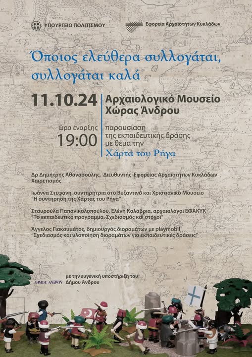
The educational event involving the Rigas Map and entitled ‘He who thinks freely, thinks well’, organized by the Ephorate of Antiquities of the Cyclades with the kind support of the Municipality of Andros, was successfully held at the Archaeological Museum of Chora, Andros, on Friday 11.10.2024.
Special thanks are due to Vice-Mayor Sp. Tsaousis, to Ioanna Stefani and Artemis Kampouraki, conservators of the Byzantine and Christian Museum, who spoke about the conservation of the Rigas Map, and also to Angelos Giakoumatos and Vasiliki Fati, creators of the exhibition’s dioramas made of playmobil, which bracket the educational action. The exhibition also presents a copy of the Olympus Calendar and weapons of Theophilos Kairis, generously provided to us by Mrs. Irini Evanthia Kairi-Giannoulopoulou, whom we warmly thank.
The implementation of the educational action begins in October 2024 with the participation of schools in Andros; visitors and schools outside the island can be scheduled by arrangement.